|
|
Date: February 17, 2000
Site: Italy
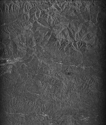
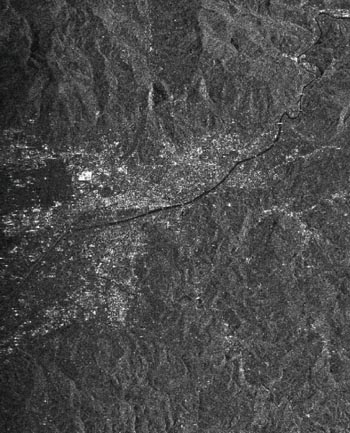
This is a view of the central Tuscany. The scene covers approximately 50 Km ´ 55 Km (32 miles ´ 35 miles).
The two images presented are high resolution image where the gray values represent the strength of the reflected radar signal; the stronger the back-scattering the brighter the image. Two such images are needed to obtain the Interferogram.
|
 |
|
 |
These images were acquired by the Shuttle Radar Topography Mission (SRTM) aboard the Space Shuttle Endeavour launched on February 11,2000. SRTM uses the same radar instrument that comprises the Spaceborne Imaging Radar-C/X-band Synthetic Aperture Radar (SIR-C/X-SAR) that flew twice on the Space Shuttle Endeavour in 1994. The mission is designated to collect three dimensional measurements of nearly 80 percent of the earth surface. To collect the 3-D data , engineers added a 60 meter long (200 feet) mast, an additional C-band antenna and improved tracking and navigation devices. The mission is a cooperative project between the National Aeronautics and Space Administration (NASA), The National Imagery and Mapping Agency (NIMA) of the U.S. Department of Defense (DoD) and the German and Italian Space Agencies. It is managed by NASA’s Jet Propulsion Laboratory, Pasadena, CA, for NASA’s Earth Science Enterprise, Washington, DC.